


Drone One
Over the next few years, Forest Vision will continue to work closely with engineers to create UAV for forestry.

6 hours

42 MP

LiDAR

5000 ha
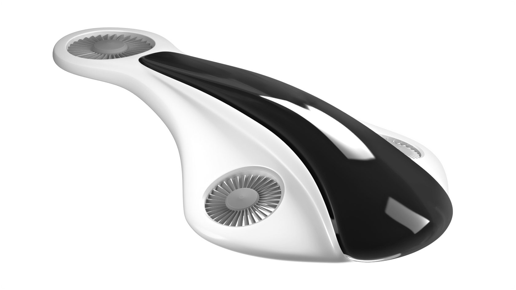
Legacy drone models are not suitable for high loads in forestry. That is why we are creating a drone to work specifically in the forest. There is only one mission - trees. And the drone sees all these.
Own mission
Flight safety, situational awareness and sensor selection will be optimized for precise data collection. Real-time display of flight data allows full control over a forest mission at any time.
Full control
We will be able to create an actual digital copy of the forest area in our Forest Vision App based on the data received from the drone. You can use the data for maximum business profit.
High data
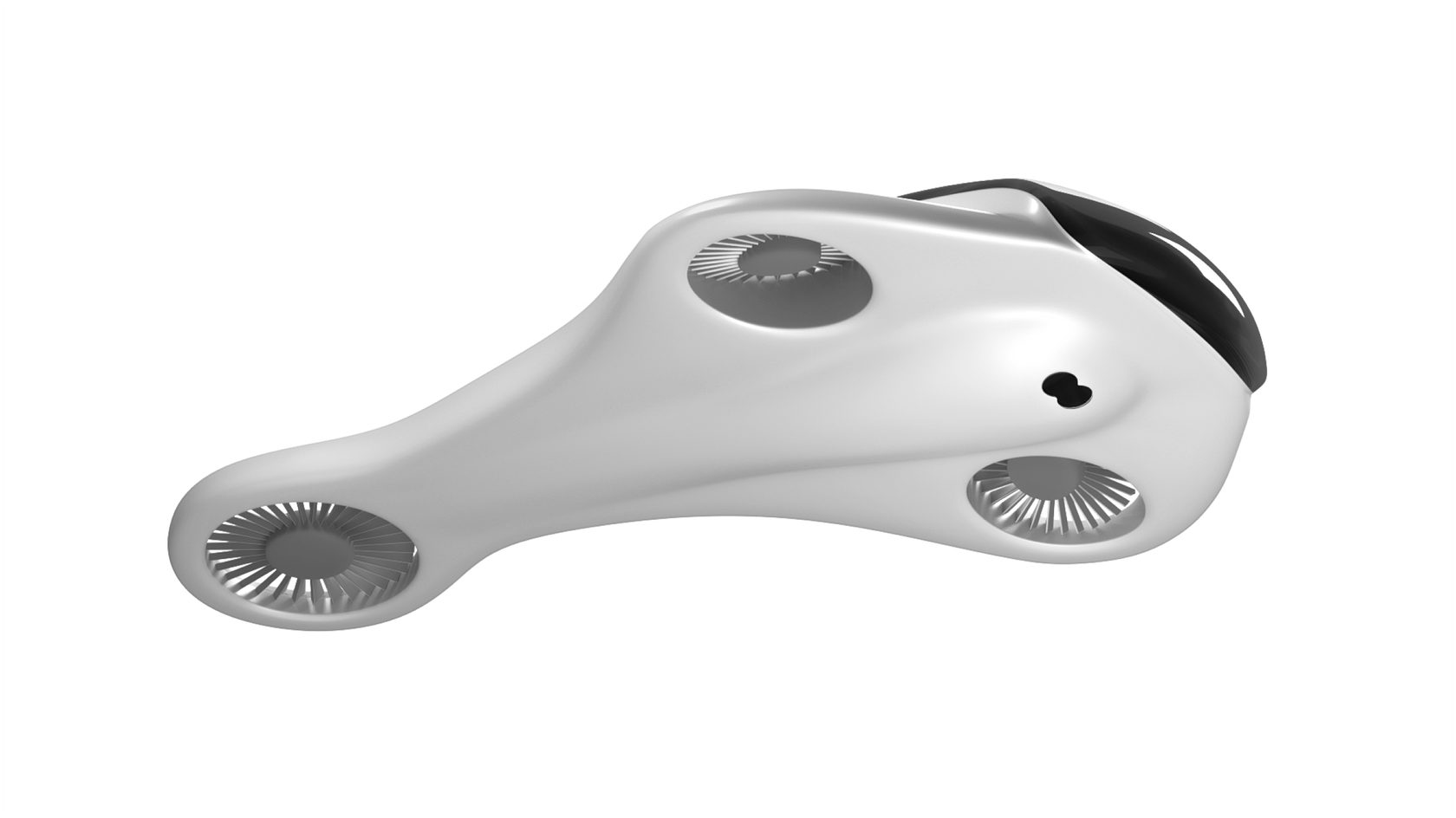
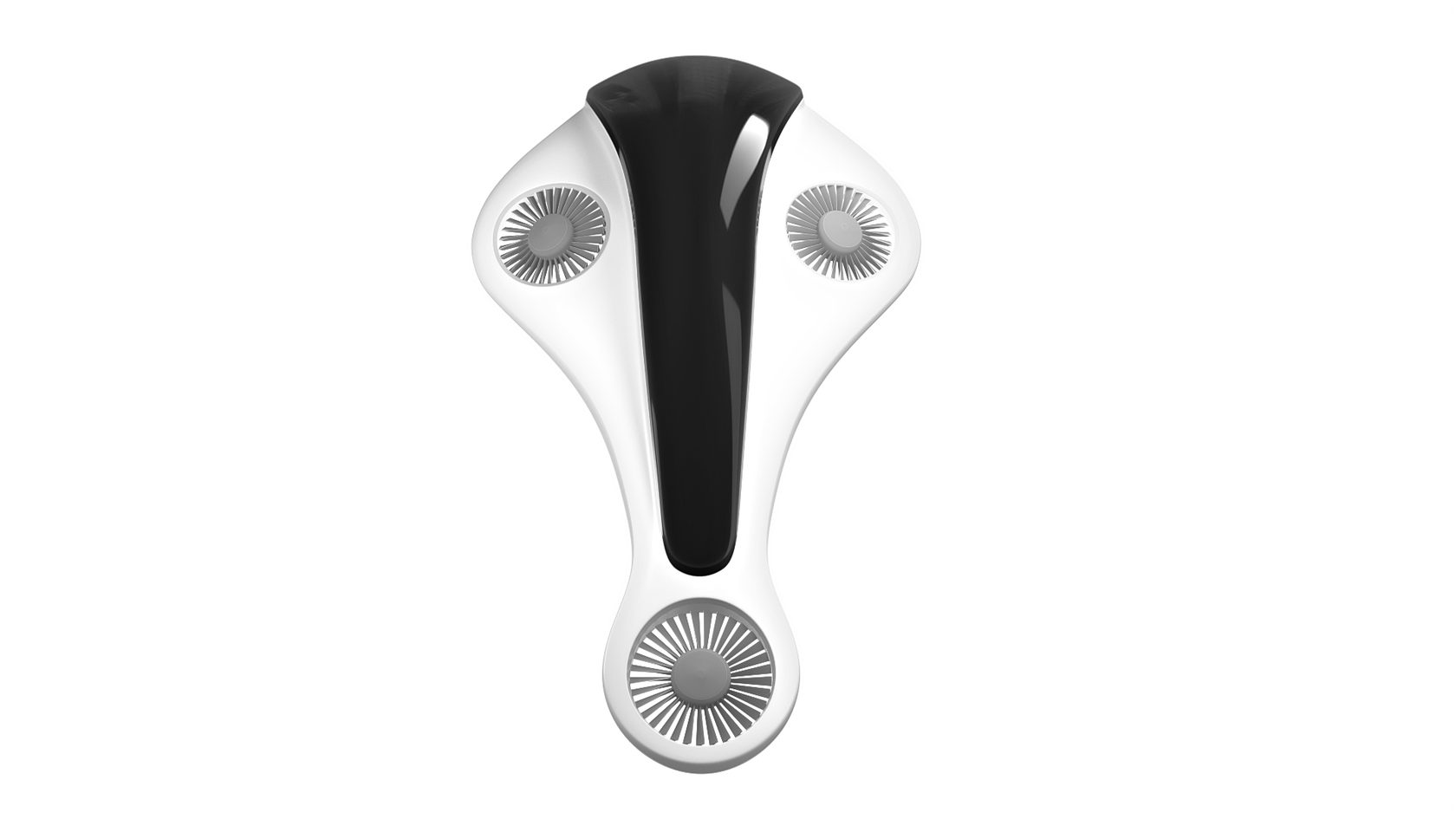
All images used are for illustrative purposes only and are intended to convey the concept and vision for the drone/UAV. They are for guidance only, may alter as work progresses and do not necessarily represent a true and accurate depiction of the finished product and specification may vary.

Forests need their own solutions
Does anyone know how many forests burned in the world in 2019, and how many were illegally cut down? It is impossible to find out without accurate forest cover analytics. Look, we know you think too it's time we kicked down the door and got our hands on this.
If you are an engineer or an advanced drone user. If you have problems with simple drones, we can help each other. Join us in the development of a customized drone for the forest — info@forestvision.ru
Stay connected
Elmia Wood Jönköping, Sweden
Member
May 18, 2021
PAP-FOR St. Petersburg, Russia
Member
Nov 24, 2020
ICSFBM 2020 New York, United States
Member
Apr 23, 2020
Visitor
Mar 17, 2020
ForestTECH Rotorua, New Zealand
Member
Nov 19, 2019
National Forest Forum Moscow, Russia
Visitor
Oct 4, 2019
Graduate
Jul, 2019
Startup Weekend by TechStars Moscow, Russia
Member
Jun 14, 2019

ForestTECHx Vancouver, Canada

© 2021, Forest Vision. All rights reserved.